Description
Stevns Klint, known as the Cliffs of Stevns in English, is a white chalk cliff located some 6 km (3.7 mi) southeast of Store Heddinge on the Danish island of Zealand. Stretching 17 km (11 mi) along the coast, it is of geological importance as one of the best exposed Cretaceous-Tertiary (K/T) boundaries in the world. Subject to frequent erosion, the cliff rises to a height of up to 40 m (130 ft). Because of its exceptional fossil record, Stevns Klint was inscribed on the UNESCO World Heritage List in 2014.
Geology
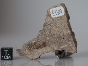
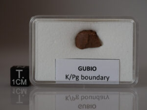
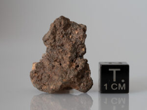
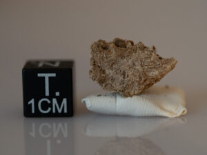
The cliff reveals sections from the uppermost part of the Maastrichtian stage (72 to 66 million years ago), known as the Tor Formation and from the lowermost part of the Danian stage (66 to 62 million years ago); the Danian-aged rocks are known as the Rødvig Formation and the Stevns Klint Formation. The lower strata from the cliff are from the Cretaceous and are composed of soft chalk, indicating a relatively deep marine depositional environment. The dark layer of fiskeler,[a] mainly five to ten centimeters thick, clearly marks the Cretaceous–Paleogene boundary. The fiskeler is enriched in iridium, a fact used as an argument for the Alvarez hypothesis that the worldwide Cretaceous–Paleogene mass extinction was caused by the impact of an asteroid. Following the boundary is a layer of darker clay and chalk between 10 and 30 cm thick, corresponding to a period of low biological diversity on the sea floor immediately after the K-Pg Boundary. The layers can also be seen deep in the tunnels of Stevnsfortet, a cold-war fortress constructed in 1953. The upper layers of the cliff consist of bryozoa chalk and were deposited during the early Paleogene. The bryozoa chalk in the cliff is highly shock resistant to both conventional and nuclear weapons.
(source : Wikipedia)